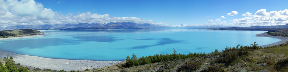
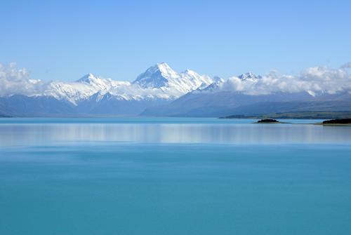
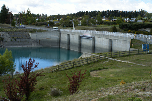
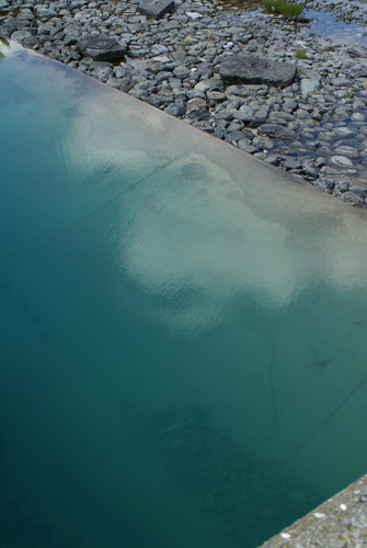
Seen at the far end of Lake Pukaki, Mount Cook is New Zealand's highest mountain at 3,764 meters. It was first climbed by New Zealander's Tom Fyfe, George Graham and Jack Clarke in 1894. The lake is fed by the Tasman River, which flows off the Tasman Glacier. It has been artificially raised as part of the Upper Waitaki Hydroelectricity network and is linked by canals to Lake Tekapo and Lake Ohau.
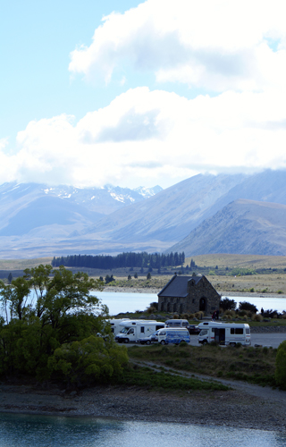
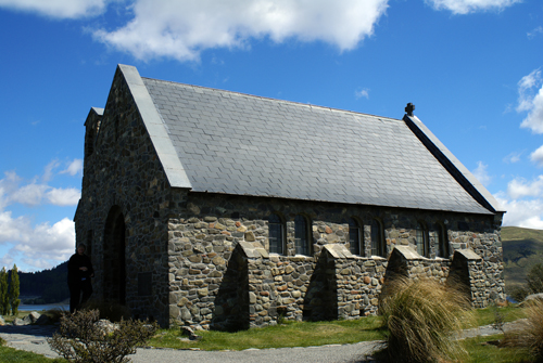
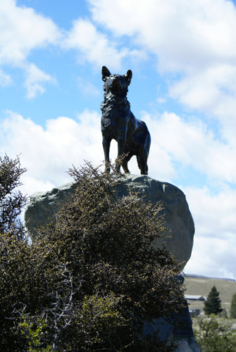
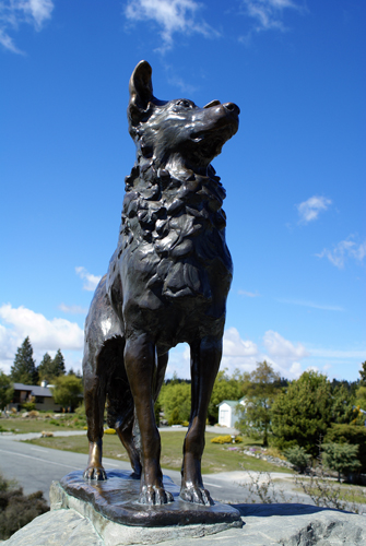
At the end of Lake Tekapo sits the Church of the Good Shepherd. The foundation stone of this stone-and-oak church was laid in 1935 by the Duke of Gloucester. The front window of the church creates a perfect frame for a view of the lake. Next to the church is a bronze statue of a sheep dog, erected in 1968 as a tribute to the important role played by these animals in the development of high country farming.
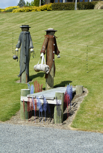
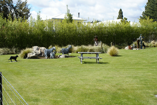
On the lawn in front of the main hotel in the town of Lake Tekapo there is a series of dioramas that depict the story of the capture, conviction, and deportation of an infamous sheep rustler.
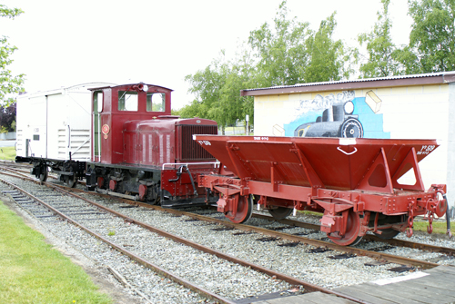
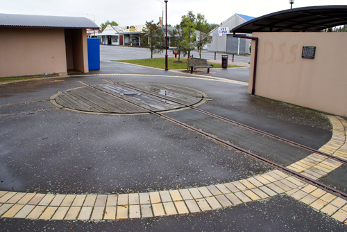
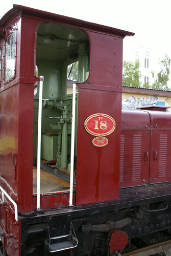
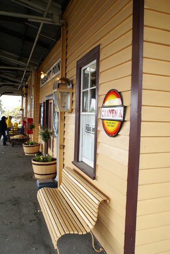
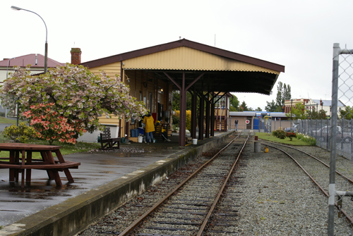
Making our way back to the environs of Christchurch so that we could quickly drop of the campervan in the morning and go to the airport to catch our flight to Auckland, we passed through the township of Pleasant Point, and stopped at the Pleasant Point Railway and Historical Museum. The Museum maintains a two kilometre section of the old Timaru to Fairlie rail line. The line was built in 1875 and closed in 1968. Two steam locomotives ply the track on school and public holidays. The road winds through rolling green farmland and passes through the mall towns of Cave, Fairlie and Kimbell, and the turn-off to Mount Dobson, before reaching Burkes Pass, the entrance to Mackenzie County.
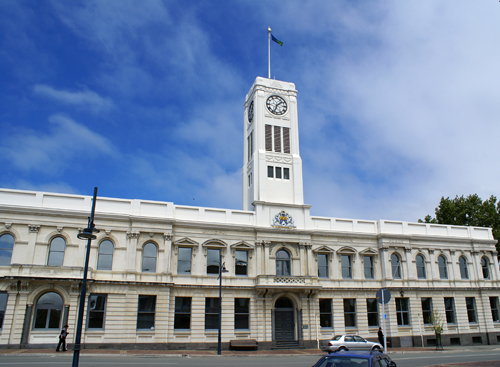
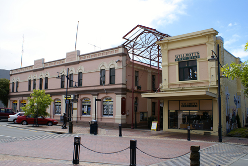
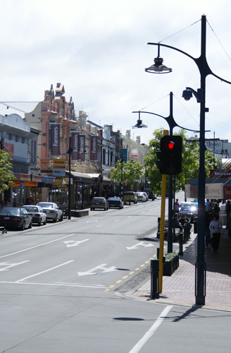
About halfway between Christchurch to the north and Dunedin to the south, Timaru is built on rolling hills marking the edge of the Canterbury Plains and is the largest town in South Canterbury. Its name derives from Te Maru, meaning "a place of shelter," denoting its historical importance as a safe haven for Maori canoes travelling the coast. It was a whaling station from 1838. The town centre is build on 1/2 sq km of land acquired by early settlers George and Robert Thodes, although settlement did not begin in earnest until 1859. Today, Timaru has the appearance of a sturdy and well-appointed provincial capital, with many notable buildings gracing its commercial heart.
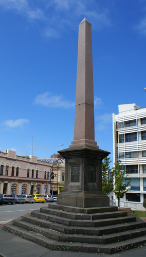
The monument below was raised to commemorate the generous and noble self-sacrifice of those who gland encountered the peril of death in the heroic endeavour to save their fellow men on Sunday the 14th of May 1882. When the City of Perth and the Benvenue were wrecked at Timaru.
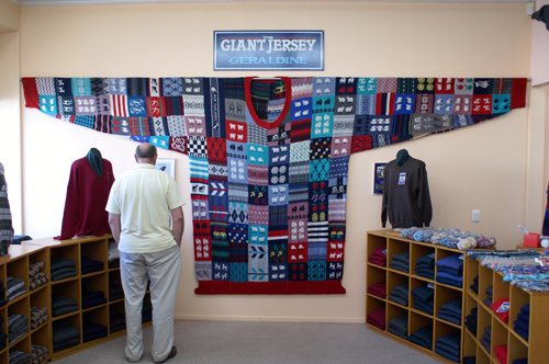
Geraldine is an attractive small farming town is a popular stopover for travellers heading south to the Mackenzie Country. First known as Talbot Forest, then Fitzgerald, and finally Geraldine, in 1866 it began as a sheep run and base for saw millers. Talbot Forest now refers to the lowland podocarp forest which provides a backdrop to Geraldine. At the local knit ware shop is the Geraldine Giant Jersey, which has been certified as the world's largest sweater by the Guinness Book of World Records.
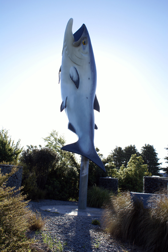
The town of Rakaia, on the banks of the Rakaia River, is a small farming settlement which claims to be the salmon capital of New Zealand. A large fibreglass fish in the middle of the township celebrates the excellent salmon and tout fishing to be had at various spots along the river.
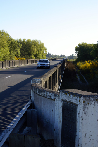
Leading into tow is the Rakaia Gorge Bridge which is the longest bridge in New Zealand.