|
Dunedin
After a short drive up the coast we came to Dunedin. The city has
an interesting and architecturally diverse collection of
buildings. Many that have survived from Dunedin's heyday
following the 1860's gold rush, when the city was the country's
commercial centre, are within walking distance of the centre.
After driving around the centre for about 15 minutes we finally found a
parking spot. Well we decided to park in the parking lot of a
strip mall. We headed to the towns Octagon, but passed through
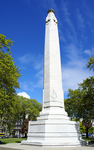
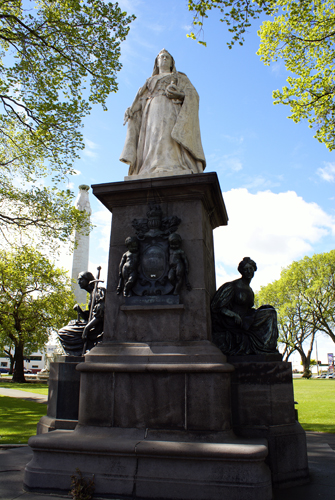
the Queen's Garden on the way. Not surprisingly, there was a
statue of Queen Victoria, as well as the war memorial.
|
|
 |
|
 |
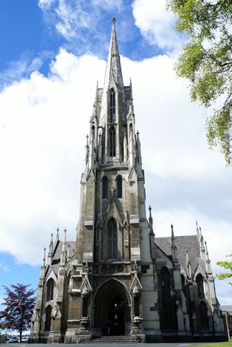
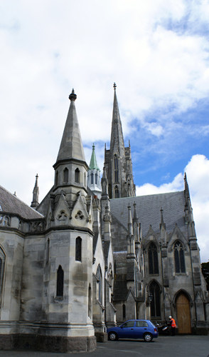
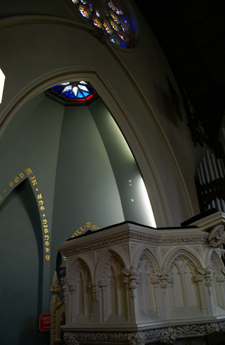
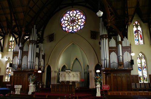
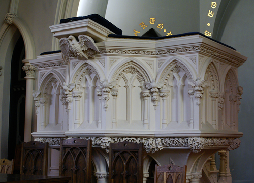
Just outside the central octagon is the First Church. Many of
Dunedin's finest Victorian and Scottish Edwardian-style buildings are
attributed to architect Robert Lawson (1833-1902). The
Scottish-born Lawson had trained as an architect in his home country
before migrating to Melbourne, where he found little work, and instead
made a living form gold-mining and journalism. He took up his
profession again in 1861 and the following year won a competition for
the design of First Church in Dunedin. Lawson moved to Dunedin
and so began a successful association with the city. His list of
credits include the Municipal Chambers, Otago Boys High School, and
Knox Church in George, which was consecrated in 1876. However, it
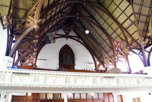
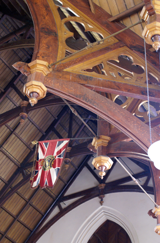
was his initial Dunedin Design, First Church, which many consider to be
his masterpiece.
|
 |
 |
 |
|
 |
 |
 |
 |
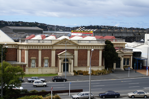
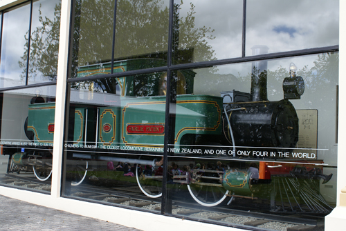
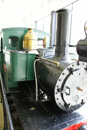
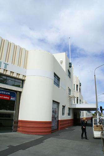
Looking down from the hill that First Church is perched on you see the
Otago Early Settlers Museum Which houses collections of early means of
transport, including the country's first steam engines.
|
 |
 |
 |
|
|
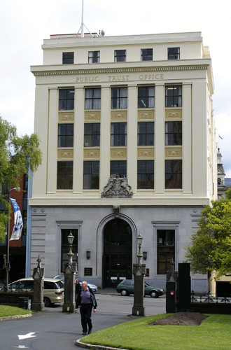
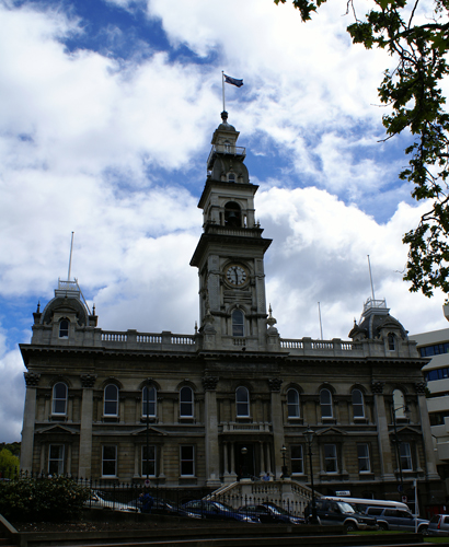
Below are the Municipal
Chambers. Built in 1880 at a time when Dunedin
was revelling in the fortune brought by the gold rush. The
building was
topped be a 47 m high tower. The chambers are an excellent
example of
the use of Oamaru stone. It has undergone considerable
restoration and
refurbishment both inside and out. It is home to the Council
Chambers,
where city councillors meet, and features a number of reception and
meeting rooms. |
 |
 |
 |
 |
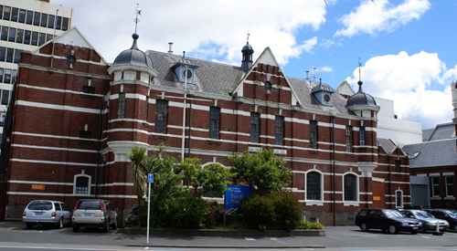
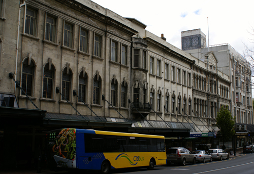
This is the Dunedin Prison, which mimics many aspects of London's New
Scotland Yard, although on a smaller scale. Completed in 1895 it
also served as the Dunedin Police Station until a new building was
commissioned in the mid-1990s.
|
 |
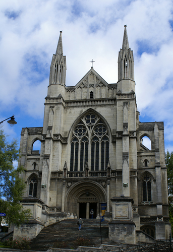
Beside
the Municipal Chambers and overlooking the Octagon is the Anglican St
Paul's Cathedral. Construction in 1919, the cathedral stands high
above the Octagon on an elevated site, with a broad staircase leading
to its doors. It owes its prominent position in a predominantly
Presbyterian settlement to the generosity of Johnny Jones, an early
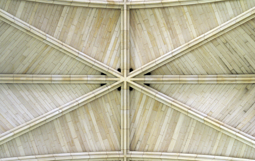
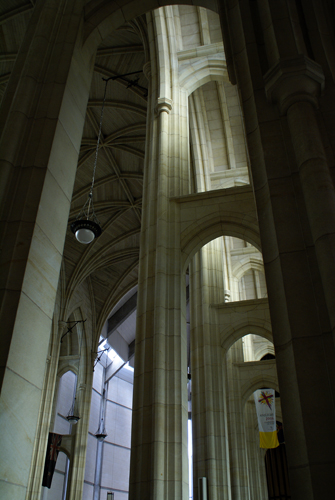
whaler and trader. the cathedral, which replace a smaller church
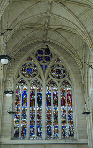
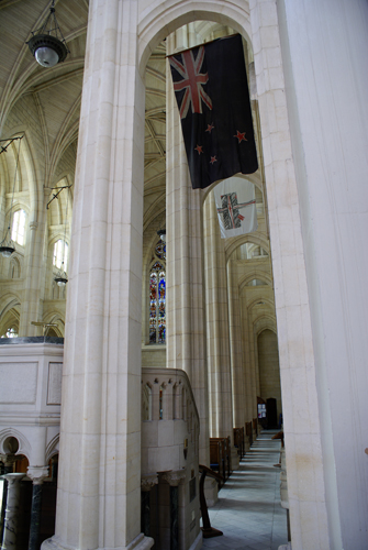
built on the site in 1863, has many fine architectural details,
including the vaulted stone ceiling.
|
 |
 |
 |
 |
 |
 |
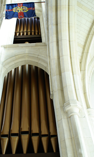
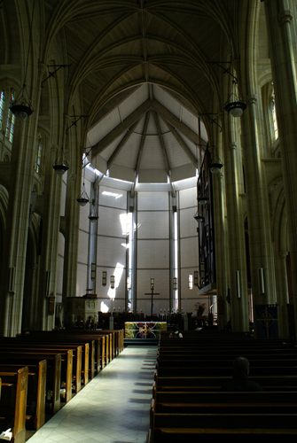
Here is a picture of the only
vaulted stone ceiling in New Zealand.
|
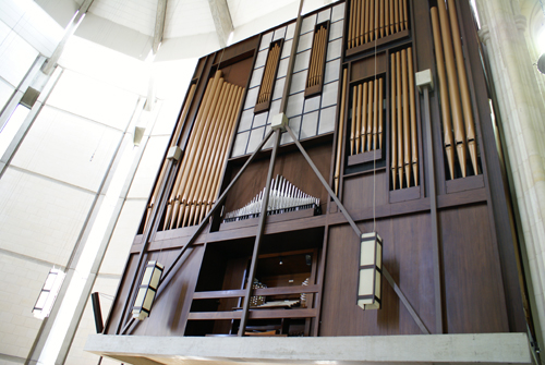
Unfortunately it was the 1970s
by the time the Anglican community realized they would not have the
money to finish building the church. The organ and rear of the
church were smacked on in the modern style of the 1970s and really rune
the look of the church.
|
 |
 |
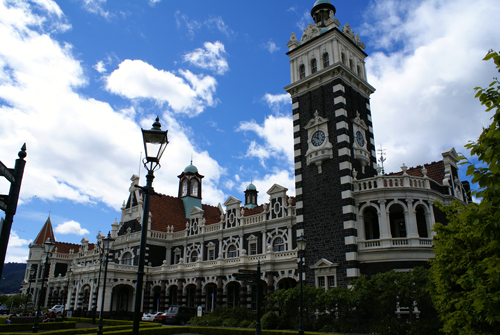
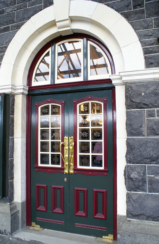
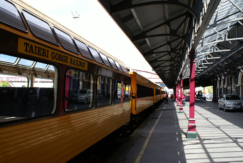
Another gem is the Dunedin Train Station. It is one of the finest
stone structures in the country. The station has a 37 m high
square tower, three clock faces and a covered carriageway. It is
one of the best examples of railway architecture in the southern
hemisphere. although not large by international standard, the
station's proportions lend it an air of grandeur. Opened in 1906,
the Flemish Renaissance style building was designed by New Zealand
Railways architect George Troup, whose detailing on the outside of the
building earned him the nickname "Gingerbread George."
|
 |
 |
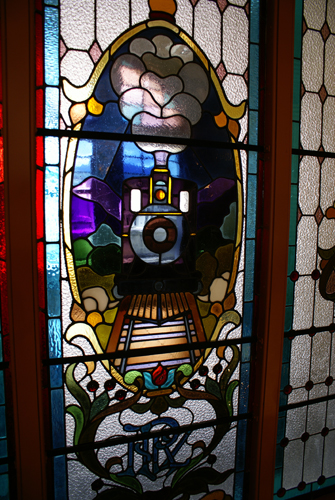
Two imposing stained glass
windows on the mezzanine level show an approaching steam engine, lights
blazing, and facing each other across the ticket hall.
|
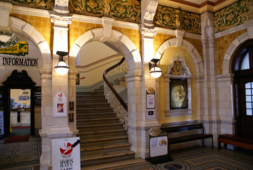
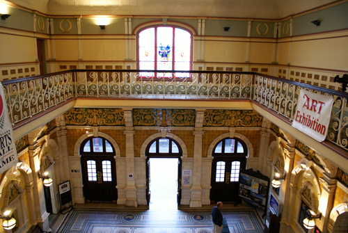
Complete with wrought-iron
balustrades and mosaic tiled steps, a staircase sweeps up from the
ticket hall to the mezzanine level.
|
 |
 |
A frieze of cherubs and foliage
from the Royal Doulton factory in England encircles the ticket hall
below the wrought-iron balcony. The mosaic floor is made up of
more than 725,000 Royal Doulton porcelain squares forming images of
steam engines, rolling stock and the New Zealand Railways logo.
|
|
 |
 |
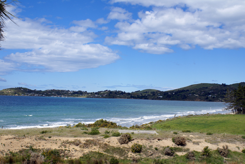
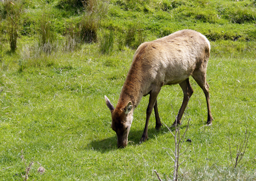
Leaving Dunedin and heading north along the coast there are many
sweeping bays, and a few deer farms.
|
|
 |
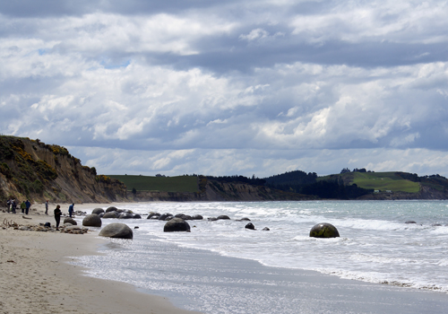
About 80
km north of Dunedin on the coast lies the Moeraki Boulders Scenic
Reserve. The Moeraki Boulders lie scattered along the shore
between Moeraki and Hampden on the east coast of New Zealand's South
Island. They are remarkable for their size and roundness and
there is nothing quite like them anywhere else in New Zealand.
The creation of these septarian concretions began about 60 million
years ago when muddy sediment slowly accumulated on the sea
floor. Shell fragments and plant debris were incorporated into
the layers of sediment during deposition.
|
|
 |
As the
mudstone accumulated on the ancient sea floor, it was continuously
mixed by burrowing animals: fish, marine worms, mollusks and sea
urchins. This destroyed any original layering in the
sediment. Within the wet sediment the cementing mineral calcite
gradually crystallized around organic nuclei to form spherical
nodules. Geologists calculate that this took about 120,000 years
for a small concretion (less than 0.5 metres across) and about four
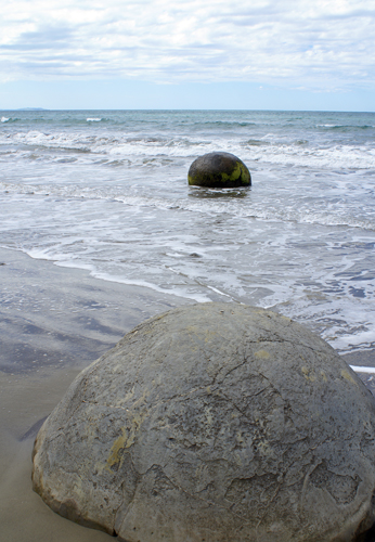
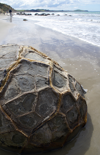
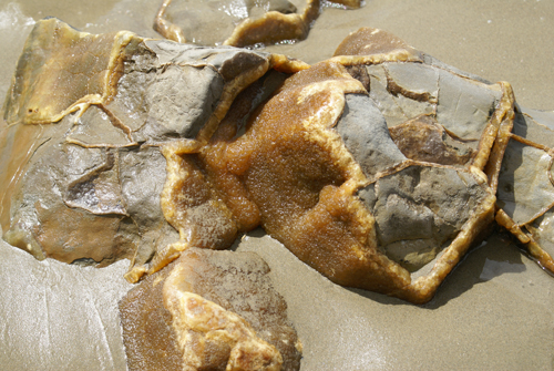
million years for a large one (over two metres across). Below
Right is a Moeraki Boulder with the distinctive surface pattern which
forms when erosion exposes he internal network of veins. This
pattern is typical of septarian concretions and has given rise to the
names "turtle backs" or "turtle stones."
|
|
 |
The
outside surface of the developing concretions then became hard and
brittle, and the inside material began to dehydrate by chemical
reactions, causing shrinkage cracks to propagate outwards from the core
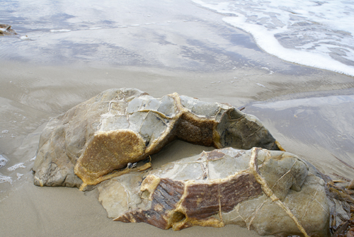
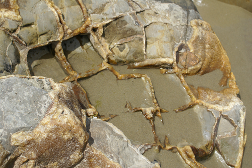
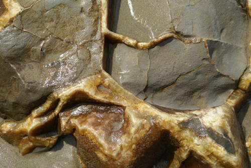
to the rim. Subsequently the cracks became filled with calcite
crystals which grew in tow stages. Tiny crystals of brown calcite
grew first, followed by larger crystals of yellow calcite.
Looking closely at these pictures you can see the two different colours
of calcite.
|
 |
 |
By the
time the yellow calcite began to form, the region had been uplifted on
the edge of the new New Zealand landmass. This period of mountain
building is known as the Kaikoura Orogeny. It began in the
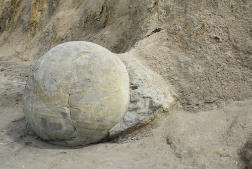
Miocene period and is continuing today. Finally, in the last few
million years, erosion of this landmass exposed the mudstone beds
containing the Moeraki Boulders as seen below left. the
weathering effects of rain, surf and sun have worn away the outside of
many of the boulders, revealing the network of calcite-filled
veins. These fragments of boulders lay littering the beach.
|
 |
 |
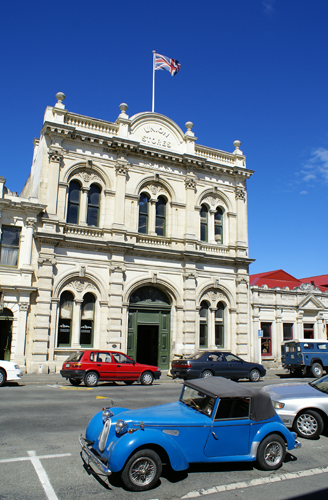
Oamaru is the main town of north Otago and service centre for the rich
agricultural hinterland. It is a pretty town with wide, tree
lined streets, well-kept gardens, galleries, beaches, colonies of rare
penguins, and the best preserve collection of historic public and
commercial buildings in New Zealand. The buildings were fashioned
in the 1880s from Oamaru stone, a local cream-coloured limestone which
is easily cur, carved and moulded. They present a fascinating
picture of a prosperous period when grain stores and warehouses were
designed to be as grand as the public and commercial buildings which
surrounded them.
|
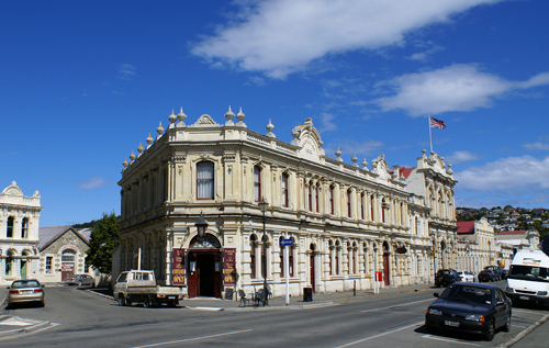
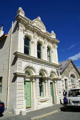
Below is the Criterion Hotel. Built in 1877, this hotel went dry
in 1906 during prohibition. Now restored, it serves patrons in a
Victorian pub atmosphere.
|
|
|
 |
|
 |
|
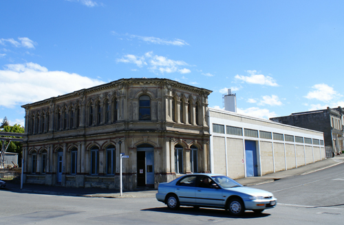 |
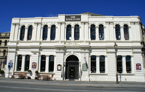
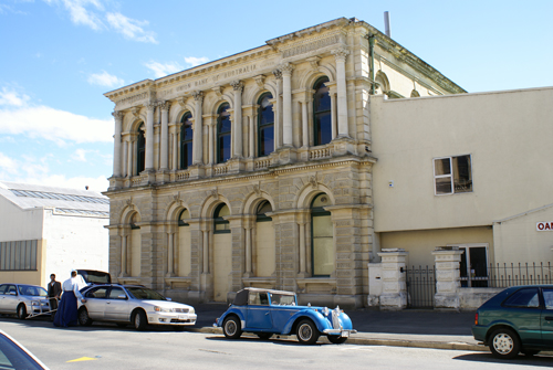
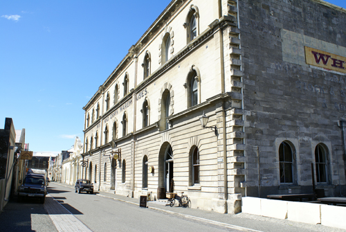
Below is New Zealand Loan and Mercantile Warehouse. This
three-story Victorian warehouse, built in 1882 for New Zealand's
largest stock and station agency, was designed to hold up to 100,000
sacks of grain.
|
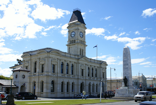
The Waitaki District council building was Originally Oamaru's second
post office, built in 1883. The building's 28 m clock tower was
added in 1903.
|
 |
 |
|
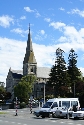
St. Luke's Anglican Church (1865 - 1913) contains fine interior wood
carvings.
|
 |
 |
 |
 |
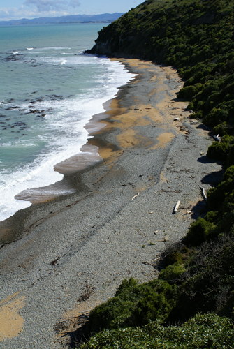 |
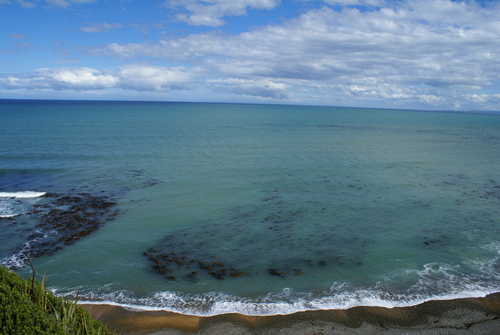
Just outside of Oamaru is this Yellow Eyed Penguin Colony. All
the penguins on the beach were still out at sea feeding. If we
had stuck around for another hour, we were told, this beach would have
been teaming with penguins. |
|
 |
 |
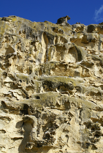 |
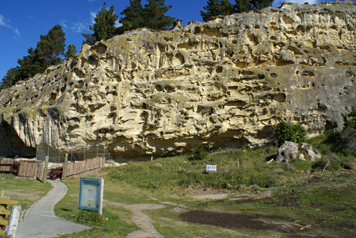
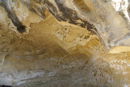
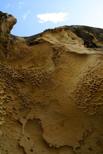
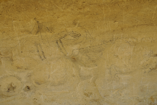
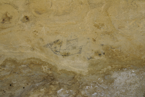
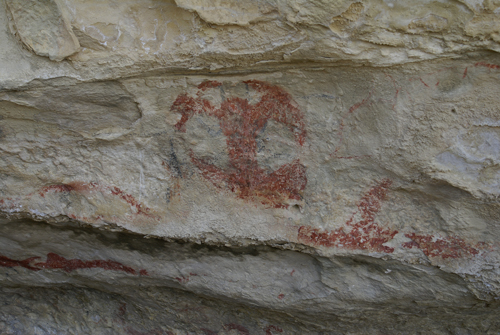
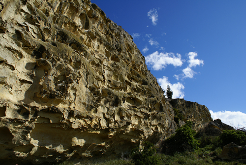
On these
wind eroded rocks there are some examples of Maori rock art. Most
of the remaining pictures depict scenes of European arrival in New
Zealand, but some also depict pre-arrival myths and events.
|
|
 |
 |
 |
 |
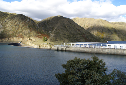 |
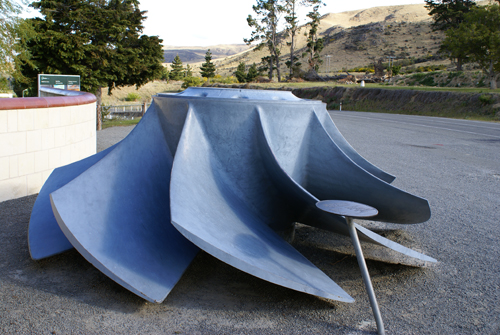
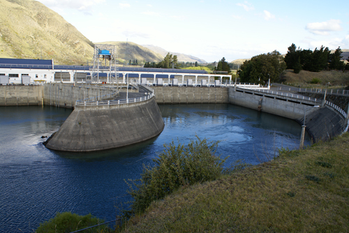
The
Waitaki Power Station, built 1928-34 is the oldest of the eight
hydro-electric stations on the Waitaki River and its headwaters.
It was the second State-built power station in the South island.
The fist was at Lake Coleridge in Canterbury (begun in 1911 and first
operated 1914). In preparation for construction, a railway line
was built from the railhead at Kurow and five kilometres of the main
Kurow-Omarama highway were rebuilt to allow for the formation of the
lake. The station was the last to be built without modern
mechanical equipment--some 560,000 cubic metres of material were
excavated almost entirely by pick and shovel. It was completed in
1934 and the first two generating units (15 megawatts each)
commissioned the following year. The station then supplied almost
half the South Island's electricity needs. Two more units were
added between 1940 and 1941, and in 1949 a fifth unit was added,
bringing the station to its originally planned 75 megawatts. In
1954, following completion of the Tekapo and Pukaki water-storage
projects, the station was extended by the addition of two more units,
bringing it to its present capacity of 105 megawatts.
|
 |
 |
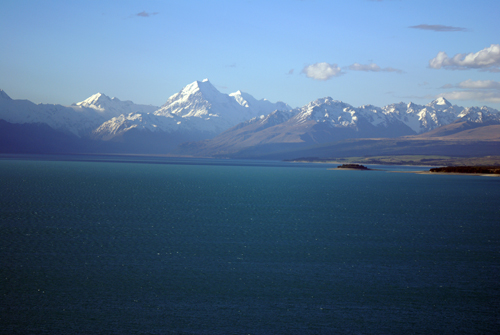
Before heading to the campground in Twizel, we drove to the south end
of Lake Pukaki in order to get some pictures of Mount Cook (New
Zealand's highest peak) while the skys were clear.
|
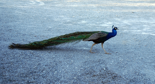
The peacock greeted us at the
gate to the campground in Twizel. Twizel was build in 1969 as a
contruction town for the Upper Waitaki hydro-electric development
scheme. Once the hydro scheme was completed, the local people
successfully fought to retain the town, and began to expoit its
proximity to excelent fishing and boating lakes, and to Mount
Cook.
|
 |
 |