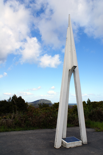
This triangulation station was erected in 1968 by the Westland branch of the New Zealand Institute of Surveyors in recognition of the early surveyors contribution to the development of Westland.
To the Present a Memory
To the Future an Inspiration
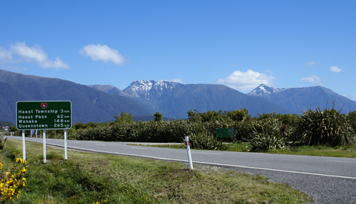
This point on Hwy 6 is the gateway
to South Westland, where there stands a monument erected by the
Westland County Council in memory of Pioneers and Pathfinders who
passed this way.
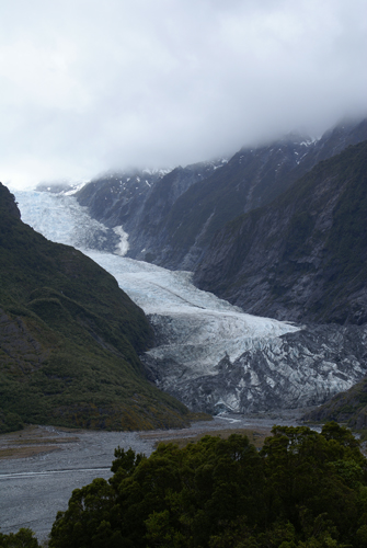
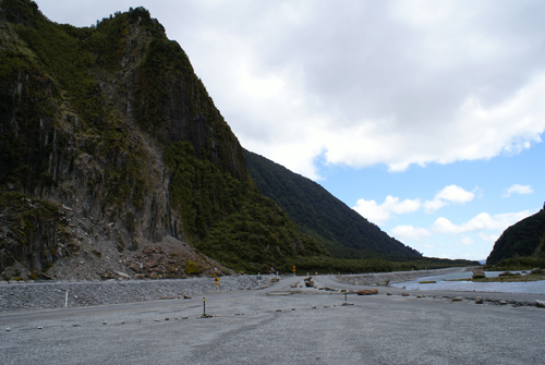
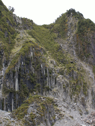
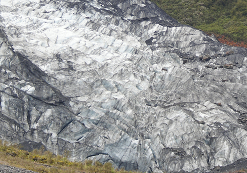
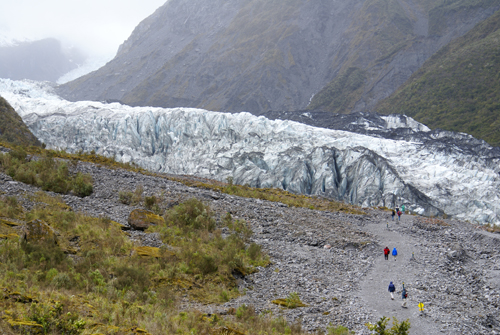
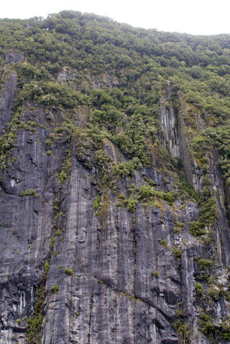
The Franz Joseph Glacier is 12 km long and located in the Westland National Park on the West Coast of the Souther Alps. It descends to just 240 meters above sea level surrounded by temperate rainforest, and is surrounded by a World Heritage Site. The glacier was named by German explorer Julius von Haast in 1865. The Maori name of the glacier is Ka Roimata o Hinehukatere.
The glacier currently terminates 19 km from the Tasman Sea, and is fed by a 52 Sq km snowfield at high altitude. Like most glaciers it exhibits a cyclic pattern of advance and retreat driven by differences between the volume of melt water at the foot of the glacier and volume of snowfall feeding the head. Due to strong snowfall it is one of the few glaciers in New Zealand which is still growing. It retreated several Kilometres between the 1940s and 1980s, the glacier entered an advancing phase in 1984 and at times has advance at the phenomenal rate of 70 cm a day (phenomenal rate by glacial standards anyway). The flow rate is about 10 times that of typical glaciers.
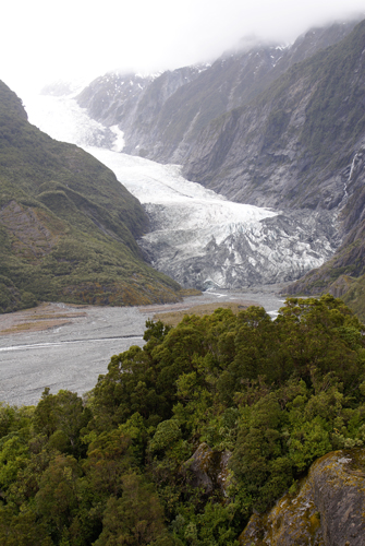
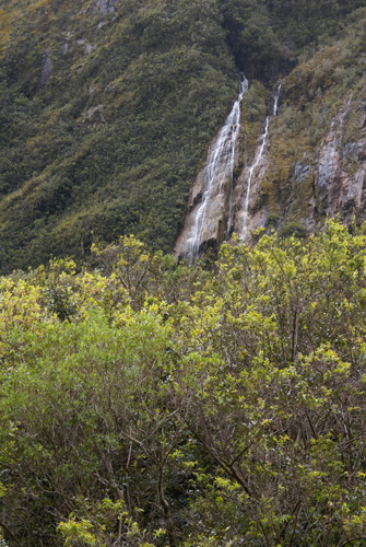
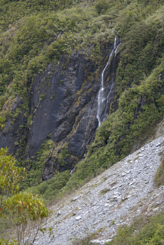
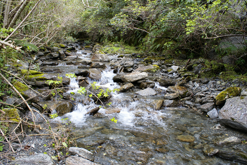
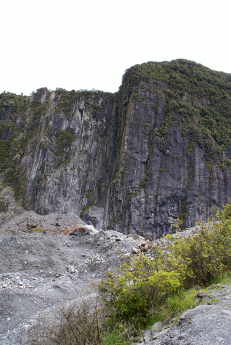
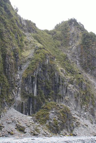
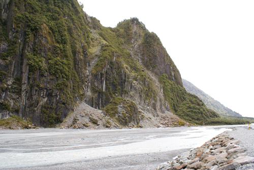
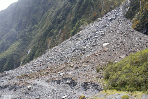
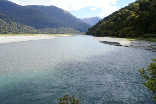
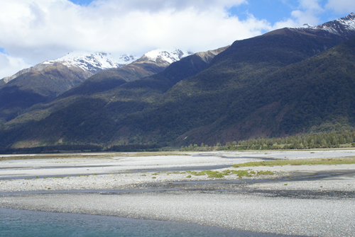
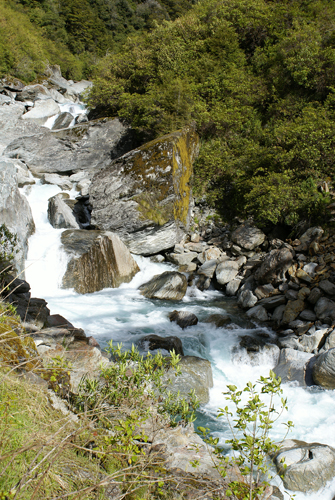
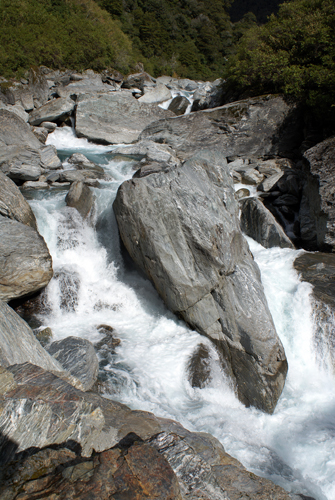
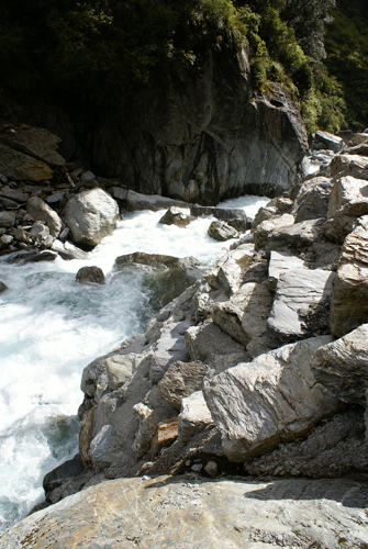
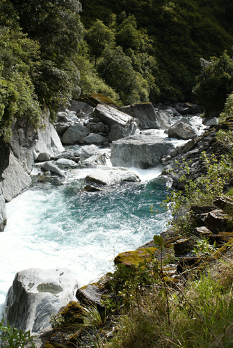
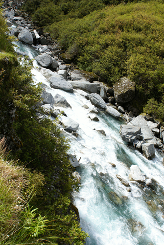
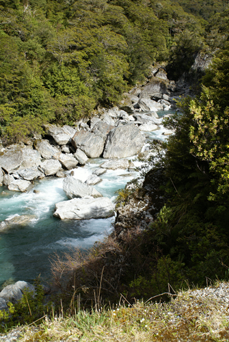
The Waiho river emerges from the terminus of the glacier. Above you can also see other waterfalls that feed into the river from the surrounding gorge.
South of the Franz Joseph glacier is the Fox Glacier named after the then Prime Minister of New Zealand, Sir William Fox in 1872. The Fox glacier is fed by four alpine glaciers and galls 2,600 meters on its 13 km journey from the Southern Alps toward the coast. It feeds the Fox River with its outflow. Although retreating throughout much of the last 100 years, it has been advancing since 1985 at an average of about a meter a day.

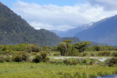
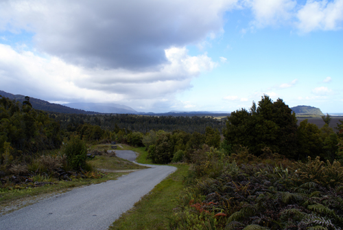
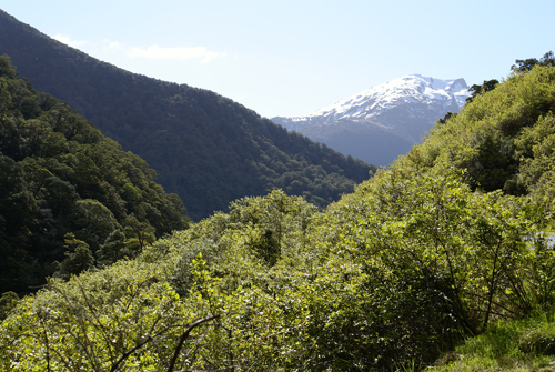
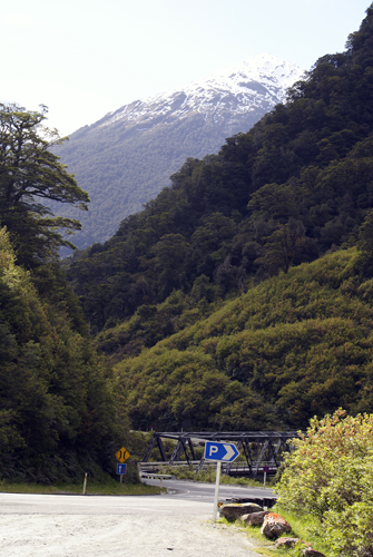
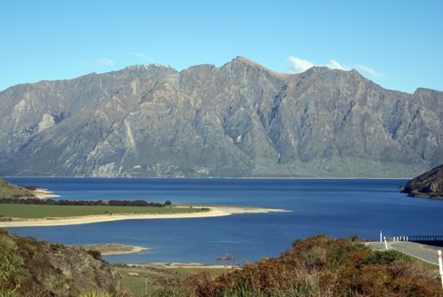
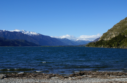
We then continued South on Hwy 6 toward Central Otago and Queensland through Haast Pass. Following the Haast River up the pass.
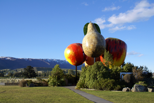
Cromwell survived the gold era to become a service town in one of New Zealand's leading fruit growing areas. In the 1980's, an electricity generating dam build down river created nearby Lake Dunstan, flooding much of Cromwell's quaint and historic main street, although several of the more notable buildings were relocated stone by stone to a new site. Cromwell now makes its living from farming, horticulture, viticulture and tourism. This they celebrate with a still life of very large fibreglass fruit.
We found a campgournd in Cromwell and were ready to head to Queenstown in the morning.